Peters World Map
- ISBN10: 0721709338
- ISBN13: 9780721709338
- Format: Poster
- Published: 21/02/2002
£18.00
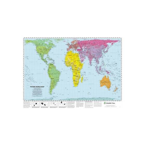
This accurate, colour-coded map shows all areas according to their actual size, with the North-South lines running vertically and the East-West lines running parallel.
*If your school would prefer to be invoiced for this purchase, please select ‘invoice’ at checkout.
This accurate, colour-coded map shows all areas according to their actual size, with the North-South lines running vertically and the East-West lines running parallel. The poster features a brief discussion of the tendency of traditional maps to show countries incorrectly in proportion to one another, and describes the 'growing awareness of the interdependence of all nations and all peoples.'